This is not a normal travel app.
No drone. No helicopter. Hold up your phone and fly from the street to orbit — then navigate the whole island with no signal.



AR Island Viewer
Pinch from the street to orbit.
Labels float over the real world at their true direction. Pinch to climb six heights, all the way to the whole island.
Altitude
1.6 m
Live
Labels on what you see
Altitude
~30 m
Rooftop
Up to 300 m around you
Altitude
~250 m
Drone
Up to 2 km
Altitude
~1–2 km
Helicopter
Up to 8 km
Altitude
~3 km
Flight
Up to 65 km
Altitude
~9 km
Orbit
The whole island
Inside the app
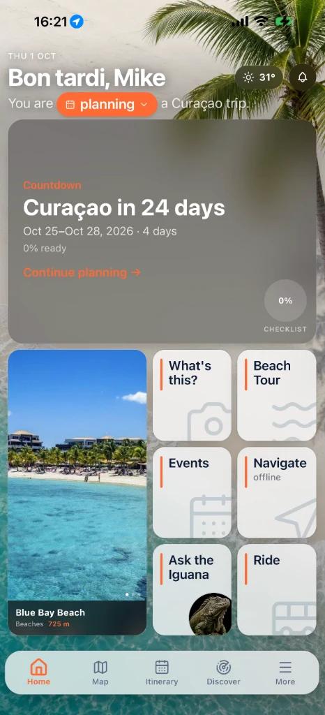
One app. The whole trip.
No signal? No roaming? No problem.
Maps and turn-by-turn directions run on a road graph built into the app. Switch on airplane mode and it still takes you there.
See something cool? Snap it. Now you know.
Take a photo of a plant, an animal, a fish or a landmark. The app tells you what it is, adds a fun fact and links to the full island guide.
Where should you go next? Ask the Iguana.
A local friend in text form. Ask anything about Curaçao and get an answer that opens the place right inside the app.
Your whole week, planned.
Who is traveling, when, what you love and where you stay. The app builds your trip day by day, then turns it into a checklist.
Restaurants, beaches, activities. Find what’s nearby.
Every place on the island with its real distance from you. Closest first, scroll for more.
Beyond the highlights
Also inside.
Good to know
Does the app work without internet?+
Yes. The map, turn-by-turn navigation, saved places and downloaded content work with no signal. Download the offline packs before your trip. The AI features (What Is This? and Ask the Iguana) need a connection.
Is it really free?+
Yes. The Real Curaçao is free on the App Store and Google Play.
Are my photos stored when I scan something?+
No. Photos you take with What Is This? are never stored.
When should I download it?+
Before your trip. Plan your itinerary at home and download the offline packs on Wi-Fi, so everything is ready when you land.
Get it before your trip.
Free on both stores. Takes a minute to install. Works the whole trip.
